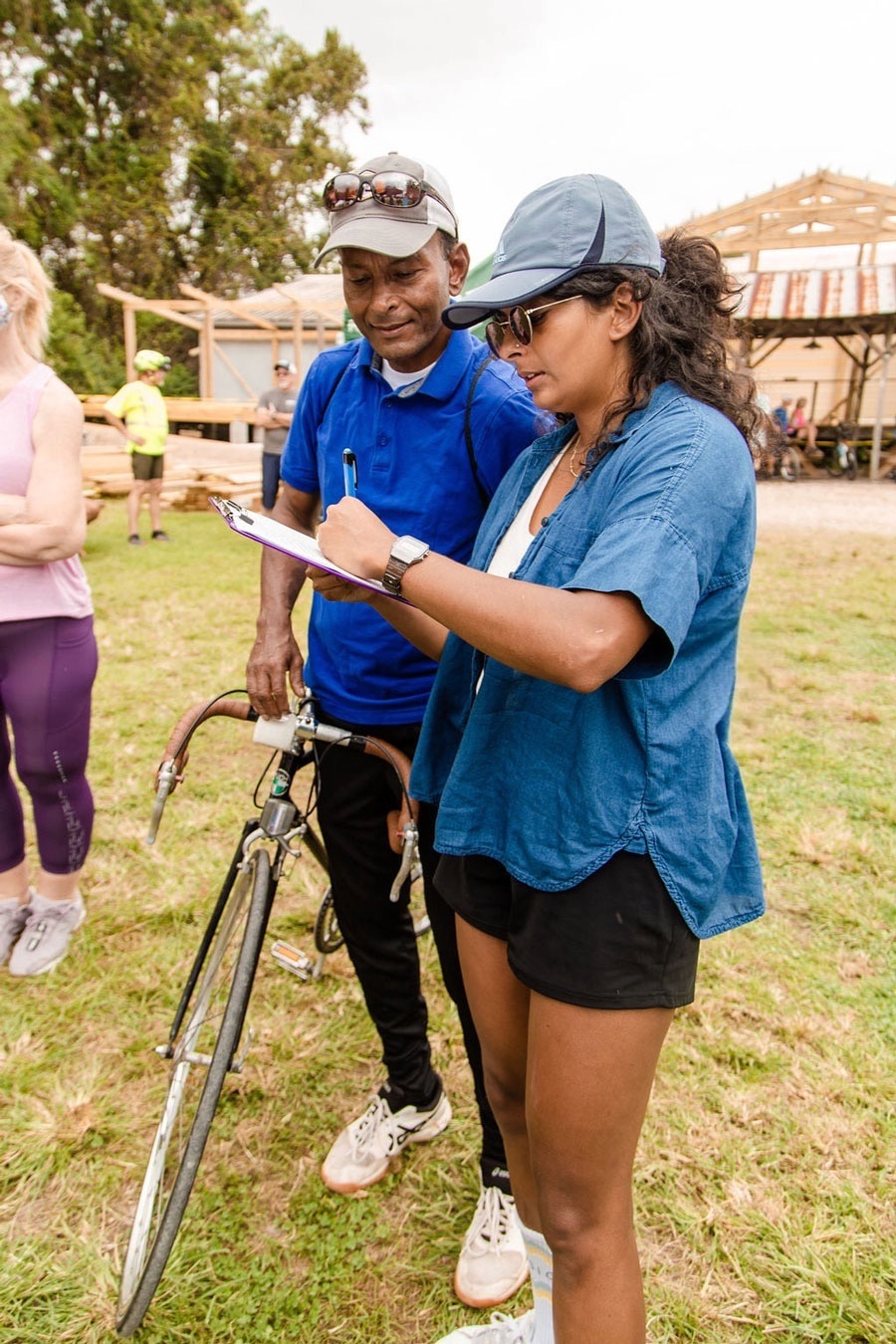
Safe, equitable infrastructure that works for all, benefits all. How we get there includes your participation when it comes to plan and policy development, data collection, advocacy, communicating with leadership, and showing a critical mass of support at events. Join us to ensure that better becomes the new standard!
CURRENT ACTIONS BELOW

Mount Pleasant Comprehensive Plan Update
Public Hearing
Tuesday, July 8
6 pm
Mount Pleasant Town Hall (100 Ann Edwards Ln, 29464)
Each municipality in the state is required to create a comprehensive plan every ten years, with an update every five years. The Town of Mount Pleasant is updating their plan now, and has released the draft for your review.
From the Town: “The Draft Update reflects more current information related to demographics, ongoing initiatives, and community feedback collected through the ‘Public Input Matters’ meeting series in 2022 and 2023. The update also features expanded sections on Mount Pleasant’s business environment and resilience planning, in alignment with new State Code requirements.”
After hosting three public meetings in June, Town Council will hold a public hearing on the Comprehensive Plan in July.
More details:
Highway 61 Safety Improvements
» Sign our petition
Following Road Safety Audits conducted by SCDOT in February and March of 2023, in partnership with stakeholders including Charleston Moves, the agency presented findings and recommendations for the public’s review and input. While the comment period has closed, our petition in support of separated bike lanes and an improved crossing at the intersection of 61 and the Maryville Bikeway is still open.
We submitted signatures received so far along with our comment letter to SCDOT. We will resubmit the signatures (as well as new ones) to the agency once SCDOT revises their concepts and brings them back for further review.
North Charleston Needs Safe Transportation Access
» Sign our petition
South Carolina is one of the most dangerous states in the nation for vulnerable road users, with Charleston County leading the state in rates of injuries and fatalities to people on bicycles and on foot. In 2021, the South Carolina Department of Transportation (SCDOT), the agency that controls the majority of our roadways and bridges, passed a Complete Streets Engineering Directive, emphasizing that local formalized bike/ped plans would be needed for the state to install the appropriate infrastructure. For the City of North Charleston to have the best opportunities to work with SCDOT and achieve safe transportation access for its citizens, there needs to be a citywide master plan to guide priorities and facilitate implementation. The good news is that the City of North Charleston successfully applied to USDOT in 2024 to create a Safety Action Plan (SAP). We still need you to sign our petition to help ensure North Charleston’s SAP is usable and robust.
Where Do You Want To Walk + Bike In North Charleston?
» Take our survey
We want to know where you currently walk and bike in North Charleston, and where you want to see improvements made to enable more and safer multi-modal trips. Thanks in advance for your input!
Cross the Cut
» Sign our petition
The Wappoo Cut Bridge is located along Folly Road between West Ashley and James Island. While it has sidewalks leading to it, and a maintenance path across, the space is too far narrow and close to fast-moving vehicles. This is a key corridor that links destinations with existing infrastructure and pending projects, including: the West Ashley Greenway, Maryville Bikeway, new Ashley River Bicycle & Pedestrian Bridge, McLeod Plantation, Rethink Folly Road improvements, Maybank Highway complete streets work, James Island County Park, and more. Despite progress and opportunities on both sides, this bridge remains a barrier. We need a critical mass of support to make this crossing safe and comfortable for people to walk, bicycle, travel in wheelchairs, and with canes.
